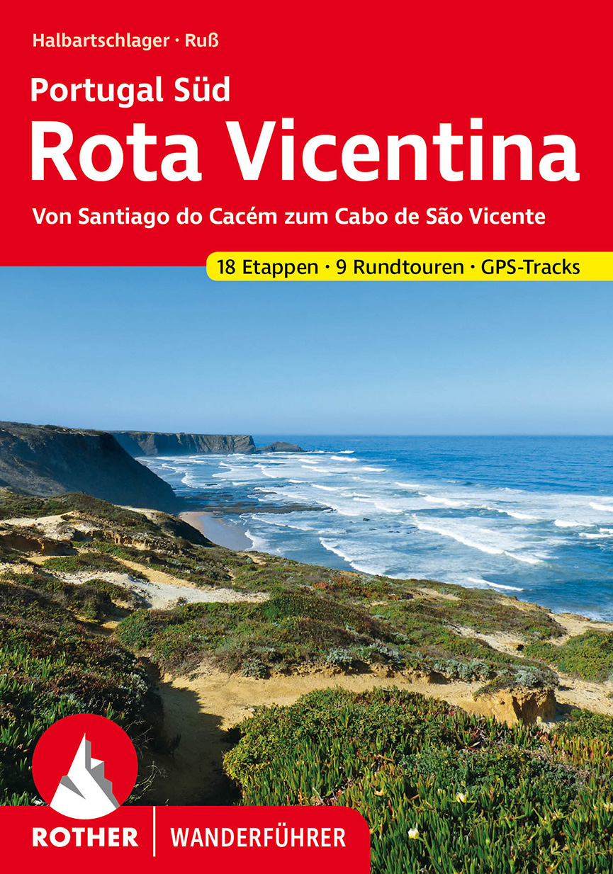
9 resultados (0,15511 segundos)

Marca

Sexo

Vendedor

Precio (EUR)

Eliminar selección

Productos
De
Tiendas

The Camino - Shirley MacLaine

The Santiago Pilgrimage - Jean Christophe Rufin

I am off them - Hape Kerkeling

Portugal's Rota Vicentina

Portugal's Rota Vicentina

Portugal's Rota Vicentina : The Historical Way and Fishermen's Trail This guidebook follows the Rota Vicentina, a 220km walking route along the marvellous Atlantic coastline in the Alentejo and Algarve regions of Portugal. The 12-stage trek combines two well-marked routes, the Caminho Historico (the Historical Way) and the Trilho dos Pescadores (the Fishermen's Trail), to create a hike starting in Santiago do Cacem and ending at Cabo de Sao Vicente. The guide also describes an alternative circular route for those who would prefer an 11-stage loop, moving inland from Odeceixe and back up to Santiago de Cacem. Whichever route is chosen, the Rota Vicentina is ideal for a two-week holiday in spring or late summer to autumn, offering walkers a remarkable range of landscapes from coastal fishing villages to wooded river valleys. The guidebook includes advice about accommodation options along the route, information about the surrounding area, and a glossary of Portuguese terms to aid with reading signs and maps. Along the Rota Vicentina are many delights for walkers. This stunning coastal region is home to a variety of rare birdlife, including white storks that nest precariously on sea stacks. Another treat is the mouth-watering Portuguese cuisine, whether the famous custard tarts or less well-known goose barnacles. With its vibrant cultural traditions and rich history displayed in Arab-era castles and 15th-century Age of Discovery sites, this route offers pleasant surprises at every stage along the Portuguese Atlantic coast. Publisher: Cicerone Press Series    Cicerone: Europe Product Type: Paperback Pages: 112 pages, 64 colour photos, 17 1:100,000 maps Dimensions: 17.2 x 11.6 x 0.8cm Date    2019 Item weight: 0.13 Kg

EUR 17.90
1

Camino de Santiago: Ponferrada to Santiago de Compostela 1:50.000

Camino de Santiago: Ponferrada to Santiago de Compostela 1:50.000

The Way of Saint James, known in Spanish as Camino de Santiago or simply El Camino (The Way) has been one of Europe's most iconic walking routes since 9th century pilgrims began making their way to the Cathedral of Santiago de Compostela to venerate the remains of Saint James. Though rooted in Christian tradition, the route has been reborn as a nondenominational spiritual rite and epic long distance trail that runs along Roman roads, across mountains, and through picturesque countryside and historic towns. The Ponferrada to Santiago de Compostela Topographic Map Guide booklet makes a perfect traveling companion when traversing the last section of the Camino Francés (French Route). This section of the trail includes the final 100km required to receive the famous Compostela pilgrim certificate when arriving in Santiago. This final booklet includes sections 2432. A detailed description of each trail section is included that tells travelers about the many landmarks encountered along the way. Each Camino de Santiago Topographic Map Guide includes detailed topographic maps of 2 cm = 1 km. Each page is centered on the trail and overlaps with the adjacent pages so there is little chance of getting lost. Along the bottom of each page is a trail profile that shows the distance between towns, rest houses, and trail access points. The map and trail profile provide a step by step visual guide to hiking the trail. Every Great Treks map is printed on "Backcountry Tough" waterproof, tear-resistant paper. A full Lat:Long grid is printed on the map to aid with GPS navigation. Every map purchase helps support the National Geographic Society, an impact driven, nonprofit organization with global reach that uses the power of science, exploration, education, and storytelling to illuminate and protect the wonder of our world. ISBN: 978-1-56695-922-3

EUR 17.00
1

Death of a Pilgrim - A D Thorne

Rota Vicentina.

Rota Vicentina.

Rota Vicentina. Portugal Sur: De Santiago do Cacém al Cabo de São Vicente, en alemán. 18 etapas y 9 caminatas en la costa suroeste de Portugal. Mapas de senderismo detallados y perfiles de elevación significativos. Pistas de GPS para descargar. 
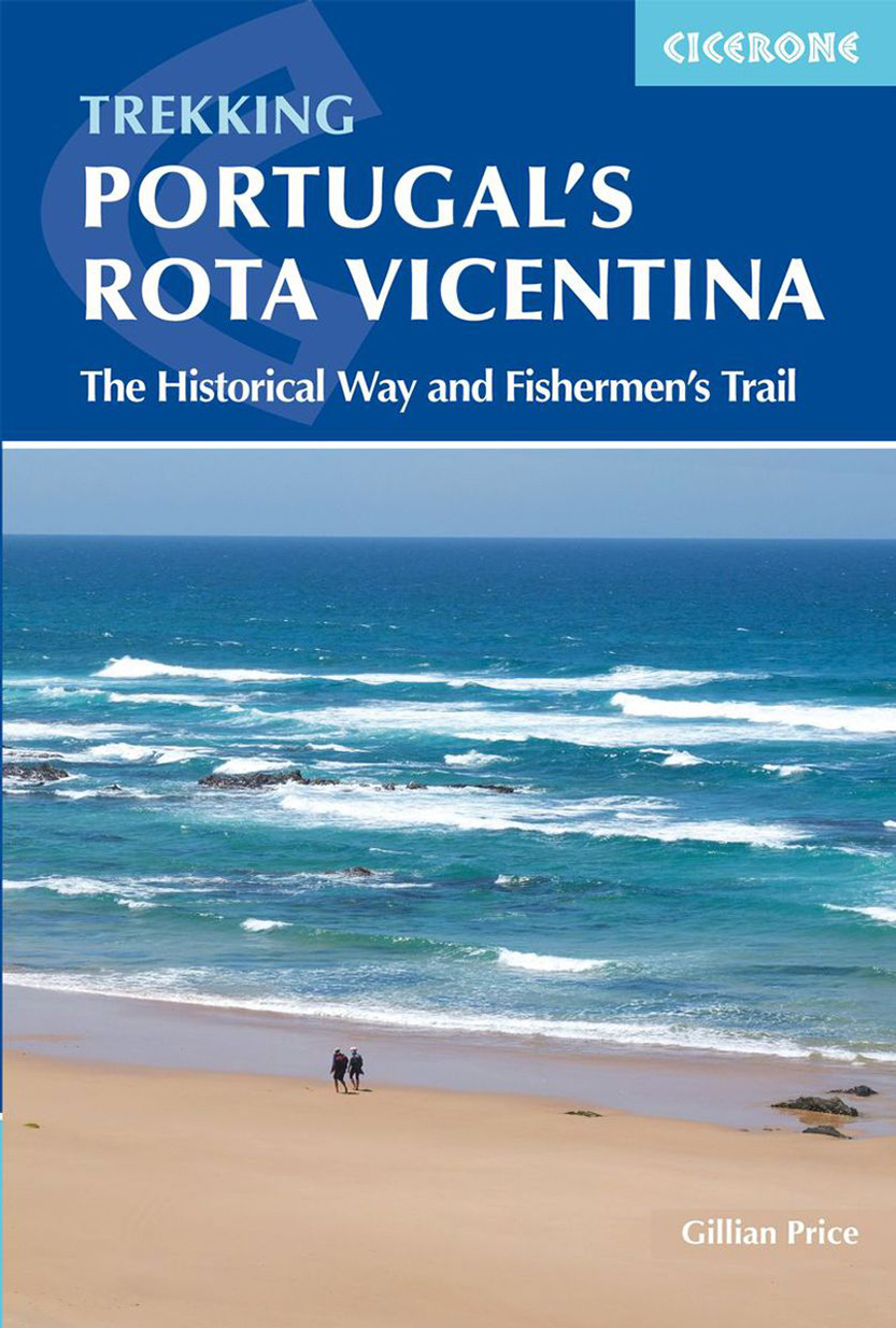
Ásperos senderos rocosos sobre las salvajes olas del Atlántico. Senderos tranquilos a través de interminables bosques de alcornoques. Barcos de pesca balanceándose al atardecer y burros dormitando a la sombra: la Costa Vicentina de Portugal es un paraíso para los excursionistas. Aunque está a tiro de piedra del ajetreo y el bullicio del Algarve, el paisaje sigue siendo un consejo privilegiado. El fascinante suroeste de Portugal se puede explorar en dos rutas de senderismo de larga distancia y nueve recorridos circulares con la guía de senderismo de Rother »Rota Vicentina«. El »Sendero Histórico« de la Rota Vicentina conduce en 13 etapas desde Santiago do Cacém a través de pequeños pueblos, extensiones de tierra casi desiertas y tranquilos valles fluviales. Termina con un grandioso final en el Cabo de São Vicente, en el extremo suroeste de Portugal. El "Camino del Pescador" discurre en cinco etapas a lo largo del incomparable paisaje de acantilados entre Porto Covo y Rogil. Si desea recoger las pasas en las excursiones de un día, puede elegir entre nueve caminatas circulares. Los excursionistas en las dos rutas de senderismo de larga distancia encontrarán toda la información sobre alojamiento, refrigerios y conexiones con el transporte público en esta guía de senderismo de Roth. Direcciones confiables, mapas turísticos detallados y perfiles de elevación ayudan con la orientación. Las rutas GPS también están disponibles para descargar en el sitio web de Rother Bergverlag. Los autores Franz Halbartschlager y Gerhard Ruß son reconocidos expertos en Portugal. Además de las descripciones detalladas de los recorridos, siempre brindan al lector consejos sobre lugares de interés en las ciudades etapa. La "Rota Vicentina" fue galardonada con el sello de calidad a nivel europeo "Leading Quality Trails - Best of Europe". Categorías: Portugal , Senderismo en general , Senderismo , Rutas de senderismo de largo recorrido , Guía de senderismo Rother Número de recorridos:18 etapas, 9 recorridos circulares - ruta histórica, ruta del pescador, rutas circulares Edición:3ra edición actualizada 2023 Páginas:152 Idioma: alemán. Número de imágenes:100 Mobiliario:27 perfiles de elevación, 34 mapas de senderismo a escala 1:50 000/1:75 000, dos mapas generales a escala 1:800 000 y 1:1 700 000, rutas GPS para descargar Fila:guía de senderismo Roth Formato:11,5x16,5 cm

EUR 15.90
1